Icacos Island Map: Location, Shores and Landing Points
Icacos is small enough to walk across and bare enough that nothing on it tells you where you are. Fix the shape in your head from the map on this page, then choose the dock closest to you and book the crossing.
Updated 13 October 2026
In shortOn the map, Icacos is the large cay off Fajardo's northeast shoulder, about 1.5 nautical miles out and roughly 1.5 miles from Puerto Rico's east coast, inside the 120 km² La Cordillera reef reserve. Its land covers about 0.659 km². Boats reach it in 15 to 20 minutes and land day visitors on the southwest beach strip, DRNA Zone B, 220 metres long.
0.659 km²land area of the cay
220 mbeach on DRNA's list
120 km²La Cordillera reserve
18–25 ftdepth at the reef stop
Departure and check-in points for the toursBeaches and snorkelling water around the cayOther cays of La Cordillera nearby
The map shows where each boat leaves the Fajardo coast and where you land on Icacos, about 1.5 miles offshore and 15 to 20 minutes away.
Cayo Icacos location: how the cay sits off Fajardo
Find Fajardo's northeastern corner on the map above, then look offshore. Reserve water starts about 1.5 nautical miles out from that coast, centred near 18°23'50" N, 65°36'15" W, and Icacos is the largest piece of dry land inside it, roughly 1.5 miles from Puerto Rico's east coast. The water leg of your day runs 15 to 20 minutes.
The cay belongs to the Reserva Natural Arrecifes de La Cordillera, about 29,653 acres or 120 km² of protected area that is mostly submerged. Designation was recommended in 1978 and made formal on 2 January 1980 under the island's Coastal Zone Management Plan, and administration passed to the Departamento de Recursos Naturales y Ambientales in 1991. No boat company owns or runs the place.
The land is modest against all that water: about 0.659 km², or 0.254 sq mi, still enough to make Icacos the largest uninhabited cay in the chain. No public ferry serves any of these cays. Boats leave from the Fajardo and Ceiba coast or from the marinas, so what this map should settle for you is which dock you drive to.
Icacos island map, read shore by shore
The cay reads as a long low shape lying off the coast, with sandy beach recorded on two sides: the south coast and the north coast. The north shore is the windward one, open to the weather coming in. The southwest side is screened by the cays themselves, and DRNA's own field work describes the waters there as calm, out of the wind and the waves. Visitor landings and the water-taxi zone all sit on that sheltered face.
DRNA's 2017 study divided the water around Icacos into four use zones, and they are the closest thing to a published map legend for the place:
Between the north and south beaches the ground is scrub: palm trees, sea grape bushes and rocky points where the sand gives out, with nothing built and no permanent shade structure anywhere. The small rocky islets ringing Icacos and nearby Cayo Ratones are listed among the sensitive habitats set aside for seabird nesting, so look at them from the water.
Walk south and the ground tells you about the cay's working past. A limestone quarry once operated on the southern part of Icacos, served by a short railway down to the pier, and the ruins hikers notice today come from that operation. They are the only man-made landmark on the island, and the easiest thing to orient by once you are away from the landing beach.
Zone A, northwest of the cay: boaters
Zone B, southwest: bathers and the water taxis that bring them, the sector with beach frontage
Zone C, south: catamarans and the southern reef
Zone D: the mooring buoys and the reef beside them
Where boats anchor and where you step ashore
Day visitors come ashore on the southwest strip, Zone B, the sector DRNA assigns to bathers and water taxis and the one its beach list records as Playa Cayo Icacos, 220 metres long. Whatever hull you arrive on, that sand is where the passengers end up. Private boats tend to sit off the northwest side in Zone A, clear of the swimming water.
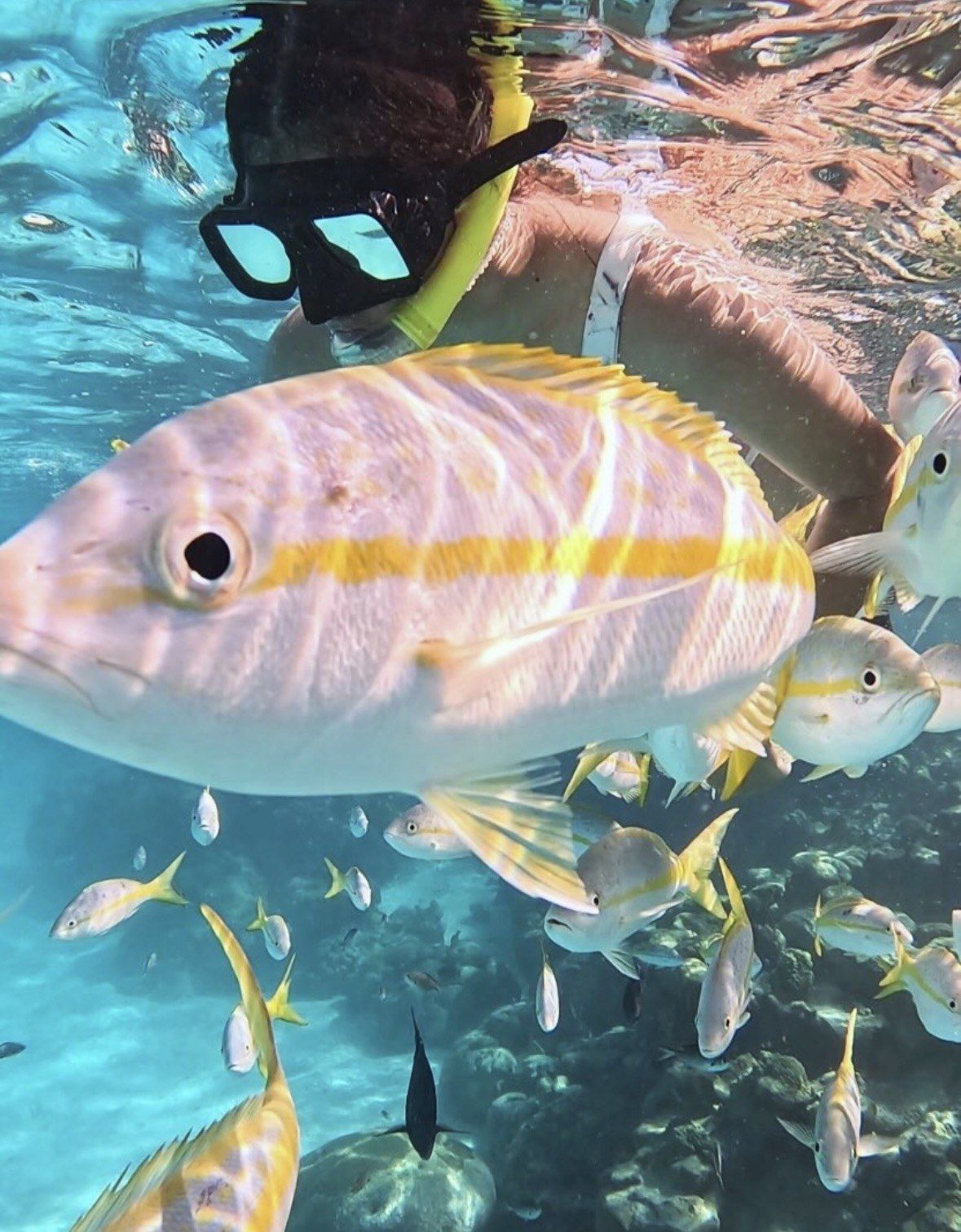
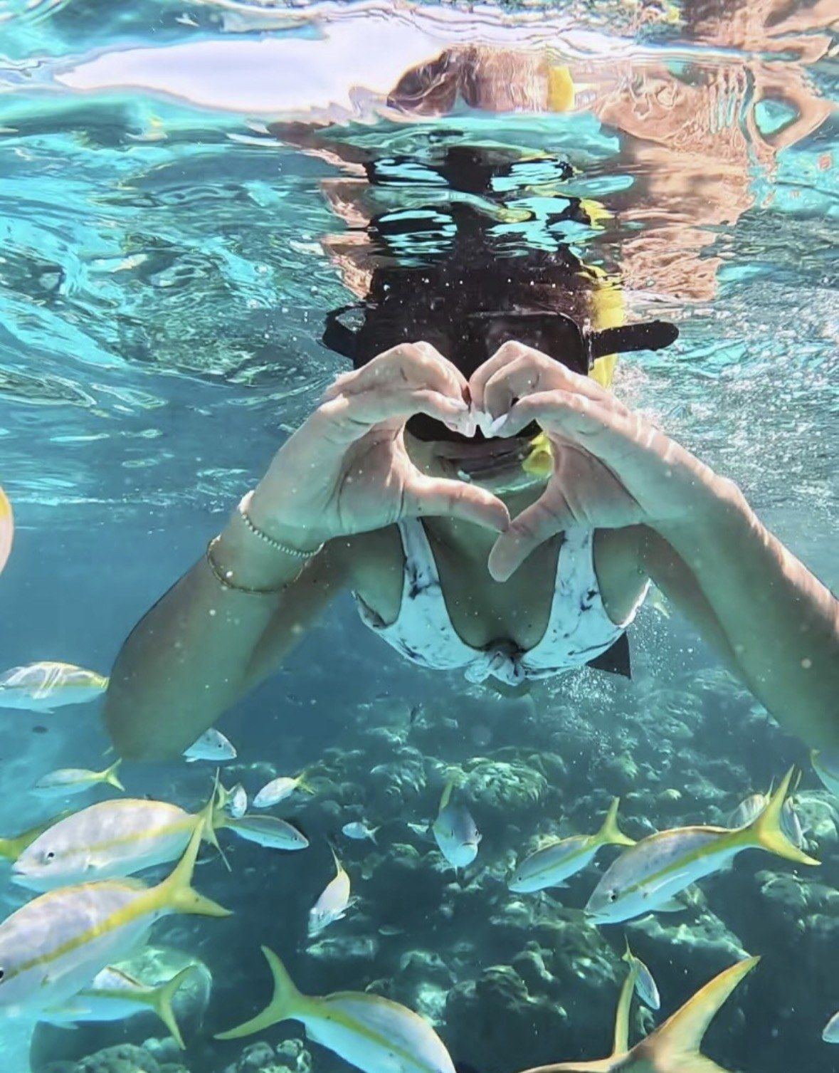
The snorkel stop is a separate position on the map from the beach. Two shallow reefs are in use: the flat reef off the south coast, where catamaran excursions begin, and the reef beside the mooring buoys, where DRNA counted more fish and more coral. Both are reached from the boat rather than by swimming off the sand, and the usual stop sits in about 18 to 25 ft of water. On the shallow reef the tour boats use, the coral includes endangered staghorn, Acropora cervicornis.
Mooring buoys exist at the reserve's busiest sites, Cayo Icacos among them, along with Cayo Lobo, Cayo Diablo, Isla Palomino and Isla de Palominito. They went in because anchoring had stripped bare whole patches of the seagrass meadows around the cays. Keep your hands off the coral, your fins up and away from it, and your feet off the reef entirely: DRNA's observers logged at least one damaging act by 33 to 34% of snorkellers at Icacos, most often disturbing an organism, kicking the reef with fins or touching coral.
See the chain from the wheel of your own boat
If reading the map made you want to follow the cays rather than sit on one beach, this 3.5-hour tour from $250 puts you at the wheel of a 13' mini boat in a guided convoy, with guided snorkelling on the reserve's reefs, premium gear, life jackets and a cooler with ice, and no licence needed.
Nothing is built on Icacos, so there is nothing to navigate by. Not one restroom, no tap of drinking water, no food service, no bins and nobody on lifeguard duty. There is no signage and no permanent shade structure either. Your reference points are the rocky points at either end of the sand, the line of sea grape and palms behind the beach, your own boat, and the quarry rubble at the southern end. The zone letters belong to a water-use scheme in a government report and appear nowhere on the beach.
Walking is the only way to move around, and at roughly 0.659 km² the distances are short: from the southwest landing you can follow the sand to the rocky points, cut through the scrub to the north-coast beach, or head down to the southern end for the ruins. The beach itself is not a fixed shape. Sand accumulation on Icacos varies through the year with the littoral currents, so the width and profile you find in February will not match August, and sargassum builds from spring into summer with a peak in June or July and least of all in winter.
Time your loop of the island against your return slot, because hunting and overnight camping are both off-limits on the cay and the visit has to finish the same day. Carry out everything you bring, since nobody collects rubbish here. Seabird breeding in the reserve runs March to September, and the management plan proposes closing cays with colonies to visitors during that window, one more reason to keep to the beaches. Nobody is watching the water from the shore, so you swim and snorkel at your own risk.
The neighbouring cays in the chain
The reserve's draft management plan lists the cays and islets in sequence from west to east, which is the order you see them from a boat heading out of Fajardo:
Isla Palominito lies south of the main chain, east of the Fajardo roadstead. Cayo Lobos and Isla de Palominos are privately owned and their land is excluded from the reserve's protected area, although the water around them is included. The management plan keeps public landing to four places in the whole chain, Cayo Icacos, the beach of Lobos, Cayo Diablo and Palominitos, which leaves everything else on that list as something you look at from the boat.
Trips differ in how much of the chain they show you. The self-drive mini boat tour on this site runs as a guided convoy through the islands and cays with snorkelling on the reserve's reefs, so you see more of the string on the way out and back. The private charter on this site is the one that lets you choose between Icacos and Palominos for the day, and that is the choice to make if a second cay matters more to you than hours on one beach.
Las Cucarachas
Los Farallones
Cayo Icacos
Cayo Ratones
La Blanquilla
Cayo Diablo
plus the Hermanos and Barriles reefs
Which departure point is closest to you
Departure points are not interchangeable, and each one sends you to a different gate and a different check-in. From San Juan or the airport area, allow about 60 minutes of driving to the Fajardo coast whichever dock you are heading for, then 15 to 20 minutes of water. The cays themselves take the wind and the waves off the use zones, which is why that short leg rarely feels rough.
What the map leaves you is the choice of boat. Pick the departure point you can actually reach on time, book a trip with a fixed check-in, and keep the 24-hour refund window in reserve if the forecast looks unsettled.
Departure point
What leaves from there
Parking and check-in
Marina Puerto Chico, Carr. #987 Km 2, Bo. Sardinera, Fajardo
Self-drive mini boat with guided convoy and snorkelling, 3.5 hours, from $250, 5.0 ★ (1969 reviews)
Park outside the gate on the left, walk through, check in at the white tent next to Sabalos Restaurant
Marina parking lot, wooden gazebo near the office
All-inclusive private charter to Icacos or Palominos, 4 hours, from $638, 5.0 ★ (511 reviews)
Tell the guard you are going on the excursion with the operator, then walk to the gazebo
Villa Marina, Avenida Marina View, Carr. 987 Km 1.3 Saldineras
Catamaran sailings
Street parking; check-in runs from 7:00 a.m. for the earliest sailings and closes by 8:30 a.m. for others
Las Croabas, the small kayak village dock on road 987 in Fajardo, away from the commercial port
Water-taxi beach day package, 5 hours, from $100, 4.9 ★ (646 reviews)
Park on the street by the waterfront, a step off the main road; public restrooms and outdoor showers are within walking distance
Questions people ask
Is there a map or signage on Icacos itself to orient by?
No. Icacos is uninhabited and has no facilities, so nothing on the cay is signposted and there are no marked paths or information boards. DRNA's zone letters A to D describe water use in a government study and appear nowhere on the ground. Screenshot or download the map before you leave the dock.
Can you walk right around the cay?
The land measures about 0.659 km², so walking is the only way to get about and nothing is far. Sandy beach is recorded on both the south and the north coast, with rocky points where the sand ends and scrub of palms and sea grape in between. Stay off the small rocky islets around the cay, which are set aside for seabird nesting.
Where exactly does the snorkelling happen in relation to the beach?
Off the cay rather than off the sand. One reef lies flat off the south coast, where catamaran excursions start, and the other sits beside the mooring buoys, where DRNA recorded more fish and more coral. The usual stop is in about 18 to 25 ft of water and you get in from the boat.
Which cays in the chain can visitors actually land on?
Four of them, going by the reserve's management plan: Cayo Icacos, the beach of Lobos, Cayo Diablo and Palominitos. Cayo Lobos and Isla de Palominos are privately owned, with their land outside the reserve and their surrounding waters inside it. Camping is prohibited across the reserve's cays and islets.
Does the beach look the same all year?
No. The management plan notes that sand accumulation on the beaches of Icacos and Palominitos shifts with the littoral currents, so the profile changes through the year. Sargassum on Caribbean shores builds through spring into summer and peaks in June or July, with the least in winter. January to March is the dry season and the steadiest stretch of water for a boat day.
The All-Inclusive Private Charter to Icacos or Palomino Islands runs 4 hours from $638, rated 5.0 ★ (511 reviews), with fruit, ham and cheese sandwiches, snacks, soft drinks, a case of Medalla beer, rum and snorkel gear. Cancel it at least 24 hours before the scheduled departure and the whole amount comes back.